
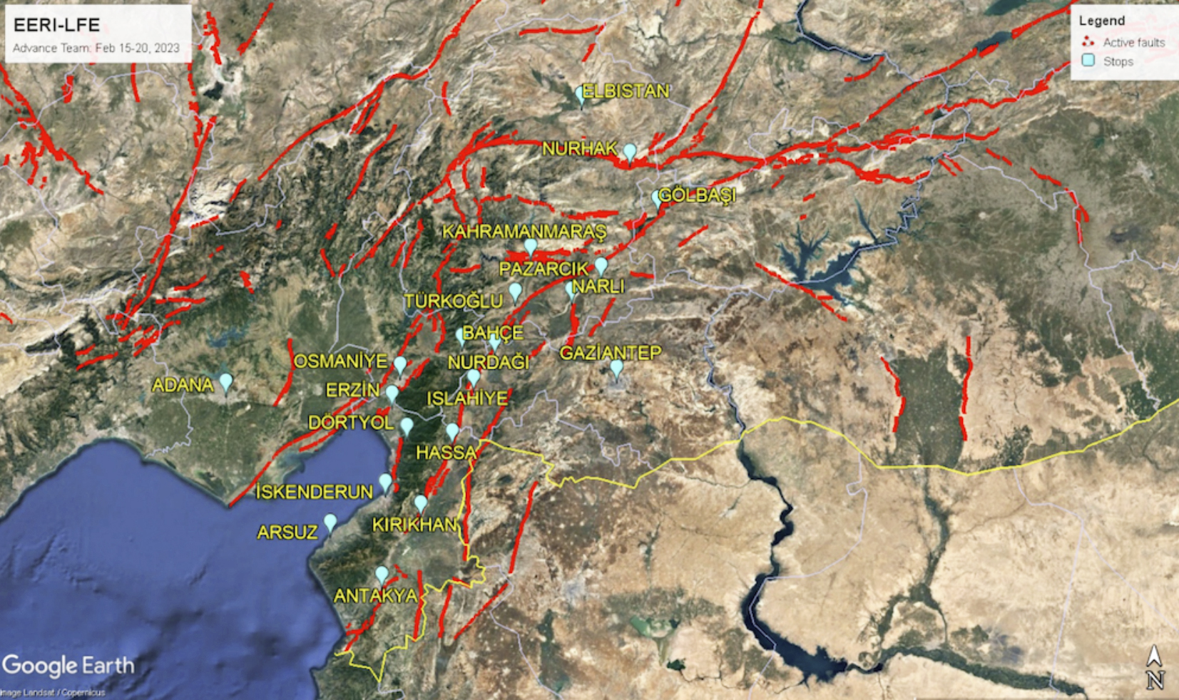
On February 6th, 2023, an earthquake with a magnitude of 7.8 struck along the Syrian border. Around 9 hours later, another one arrived with a magnitude of 7.5. There are two main faults in Turkey, the East and North Anatolian faults, making it one of the most active regions in the world for earthquakes. The earthquakes, along with preexisting conditions in the area, have caused increased political and economical strife in the area.
According to the United States Geological Survey (USGS), from research that they conducted, the earthquakes have an estimated fatality rate of about 10,000 to 100,000 people, with current fatalities reported to be about 50,000, as well as an estimated economic loss of $10,000 to $100,000 million USD which is about 1-10% of Turkey’s GDP. In addition, 47,000 buildings have been damaged or destroyed by the quakes.
Turkey had faced the Izmit earthquake in 1999 which had killed around 15,000 people and destroyed many buildings. As a result of this earthquake, Turkey implemented a building code in order to help mitigate the events of future earthquakes. However, in many instances of fallen structures in the more recent quakes, this code has not been enforced. It has been speculated that the reason why enforcement is so weak is because the government would provide amnesties for construction, allowing for structures to be built without required safety certification, and that up to 75,000 buildings have been given these amnesties in Southern Turkey.
Current Turkish President Recep Tayyip Erdoğan has been accused of being the cause of some of the aid delay in the area. The Disaster and Emergency Management Presidency (AFAD) in Turkey is responsible for approving aid that comes to the area and is a branch of the Justice and Development Party (AKP). It’s been speculated that because Erdoğan is affiliated with the AKP, AFAD prioritizes his political affairs and actions. It has been stated that AFAD were responsible for the response on February 6th. This restriction of authority caused delays as assistance could not be deployed until AFAD issued direct orders to its workers.
If a similar earthquake were to hit Southern California, it would have a different impact. Technically speaking, there are many similarities between the earthquakes in Syria and Turkey when compared to those in California. According to Professor of Geophysics, David Oglesby, “The San Andreas Fault here that runs up in Cape Mendocino in Northern California, all the way up to the Salton Sea is also a strike-slip fault (like the ones in Turkey).”
Assistant Professor of Geology, Heather Ford, states that “there’s a comprehensive report that models what would happen if you had a magnitude 7.8 earthquake in Southern California, with similarities in size, type of plate boundaries, and fault behavior. They pulled in social scientists who understand the impact on social systems and talked to policymakers to discuss actions that can be enacted to reduce the impact. And so in terms of economics, the estimate is that in Southern California, which is an area of very high productivity, we’d expect that the impact of this earthquake would be about $2 billion with approximately 1,800 fatalities.”
However, unlike Syria and Turkey, Californians would be much better prepared in the instance an earthquake occurs. As Ford states, “A big part of preventing things from becoming catastrophic disasters is to mitigate. So one thing is we can design our buildings and infrastructure to withstand strong ground motion. California has a series of regulations, laws and other sorts of forms of government guidance, also known as the California Building Code (CBC), that require us to do things to make our infrastructure and our buildings more shake resistant. We even designed some of our other infrastructure, gas lines and other structures to avoid crossing fault lines. When we do cross faults, we try to design them in a way that would be able to mitigate some of that impact. Another thing that we have that’s relatively new is Shakealert.”
ShakeAlert is a major tool in preparing for earthquakes. While we don’t have the technology to predict when or where an earthquake may occur, what can be done is to release an early warning. As seismic waves travel through the earth, seismic stations that have been set up around the area pick up signals of these waves. They listen 24/7 to the earth and when they pick up a sudden irregularity, they calculate the approximate magnitude and this information is sent back to a station. If the threat is deemed high enough, an alert will be sent to people who have ShakeAlert on their phone and they are given a little under a minute or so to prepare for an incoming earthquake.
A single earthquake also has the possibility of triggering other earthquakes as well, in most cases these weaker quakes are known as aftershocks. However, this is not always the case. According to Oglesby, “there is a possibility that the later earthquake that follows it could be bigger than the original earthquake,” in which case naming conventions help gauge the severity of the earthquakes.
There are ways to prepare for earthquakes and the after effects. Funning states that “There’s the chance that you won’t have running water, gas, or electricity at the time. We say probably a gallon of water per person is enough for one day of survival and you might want to plan for several days. I mean, the advice is usually three days but I would personally have a lot more water than that. I’m going for a week without water so like seven gallons of water per person in your house.”
Funning also recommends that on top of that you’d want to carry canned or non-perishable food, as well as some way to open the containers that they come in. Another helpful thing would be keeping all the supplies in one part of the house that is easily accessible, and collecting items such as fire extinguishers, first aid kits, earthquake kits, space blankets, etc. As well as finding accessible routes to turn off water or gas lines in case there are ruptures in the area.
He adds on by stating that the best thing to do in times like this to help mitigate the impact of the earthquake is to be well prepared and remain well informed about earthquakes. This can be done by keeping up with alerts through ShakeAlert, having emergency packs, reading up on various sites such as USGS, EERI, GEER, and IRIS. There are also classes offered by the Department of Earth and Planetary Sciences at UCR such as GEO 004 which covers Natural Hazards and Disasters and GEO 008 about Earth Country for those who are interested in learning more about earthquake safety and information.


