
In a study published in August 2022, Juan S. Acero Triana, UCR hydrologist, and Dr. Hoori Ajami determined the causes of the shrinking Salton Sea through models and data mining. Triana is a postdoctoral scholar specializing in hydrology, the science that examines the movement, the properties of, and relationship of water with its environment. Dr. Hoori Ajami is an assistant professor of Groundwater Hydrology in the Department of Environmental Sciences at UCR.
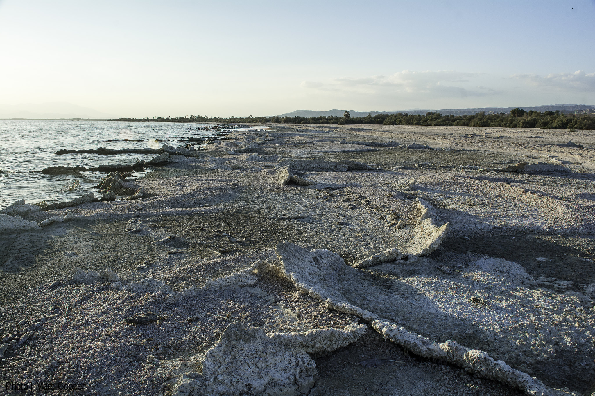
The Salton Sea, despite its name, is not a sea at all. It is California’s largest lake, located in southern Riverside. It was created in the spring of 1905, when the Colorado River bursted an irrigation canal and flooded the Salton Sink, a dried riverbed in Southern California. Two years of continuous flooding before the canal was sealed up created the Salton Sea, an inland lake amidst the dry landscape. Tourism quickly sprung up around the lake as people flocked to the lake for water related sports and recreation. Due to its landlocked nature and being cut off from its water source, it has been maintained mostly by irrigation runoffs from agricultural practices in nearby Imperial and Coachella Valley. Due to the pesticides and other waste from the runoffs, the lake was becoming increasingly toxic. The water started to evaporate and the salinity in the lake rose. Birds and fish began to die off. Strong winds blew the toxins from the dried up riverbed into nearby Latinx and Indigenous communities. The tourists have long gone, yet the 650,000 residents in the area bear the brunt of the plethora of serious health issues (e.g. asthma) that were a result of the lake’s toxicity.
Endorheic lakes such as the Salton Sea are landlocked and do not flow to an external body of water such as a river. They lose water through evaporation and seepage into the ground. They mostly occur in arid or semi-arid places. The researchers highlighted that endorheic lakes are essential for biodiversity and also “provide numerous ecosystem services,” such as retaining pollutants, but they are “one of the most threatened ecosystems in the world” as climate change and water mismanagement tips the balance on these systems.
In their study, the researchers determined that the decreased inflows from the Colorado River was the cause of the lake’s shrinkage, not the decrease of irrigation runoffs as previously thought. They used Soil and Water Assessment Tool (SWAT) simulations to identify the major factors of change on the water level of the Sea. They considered many variables that might affect the Sea’s water level, such as the climate, soil type, plant growth, and other surrounding factors. They used a multivariate approach; monthly time series of the precipitation, lake water balance, irrigation volume, and valley crop evapotranspiration–the sum of all the processes of evaporation and transpiration–were analyzed. The results showed that there were no significant changes in the climate but the water levels have gradually decreased since 1998.
SWAT generates time series decomposition to identify the nonlinear relationships in the trends in order to find the major drivers of the water depletion. Through datamining, the results indicated that the decreased supply of water from the Colorado River was the main cause of the declining water level. The water from the Colorado river is mostly diverted to American and Mexican territories for agricultural purposes. They found that state water transfers correlate to the water depletion in the Salton Sea.
The researchers believe that the frameworks they developed could be useful for other regions to identify meteorological versus manmade changes on lake depletion. The models will also be beneficial for basins with little existing data where the satellite analysis can only provide estimates of the climate and other environmental factors.
More information can be found in Triana and Ajami’s paper.


